Recently viewed items:


St Petersburg, Alexander Sauele
Russia. Original steel engraving. ca 1835. Small repaired hole on the margin. Hand-coloured. 13,5x9cm. Matted.
Sold


Cliffs of the Junfrau
Switzerland. Original wood engraving, engraved by E. Whymper after W. H. Boot. ca 1875. Very good condition. Printed on the reverse side. Hand-coloured. 23,5x16cm. Matted.


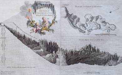
Détails Géométriques De La Grotte D´Antiparos
Greece. Original copper map. (Choiseul-Gouffier). 1782. Very good condition. Hand-coloured. 38x23,5cm. Matted.

 +49 40 4204212

